Background volcanic activity.
Volcano profile · Central Java, Indonesia
Mount
Merapi
A steep, restless lava-dome volcano where slow extrusion can rapidly become rockfall, dome collapse and devastating pyroclastic density currents.
Latest activity and alert level
Check the live status hub
Merapi can change quickly as lava domes grow, collapse and generate pyroclastic density currents. View the Volcoholics volcano directory for the latest verified official position from PVMBG and MAGMA Indonesia.
View latest Merapi status →Indonesia's restless dome volcano
Beautiful, productive and dangerous
Merapi rises immediately north of Yogyakarta and is one of Indonesia's most closely watched volcanoes.
Its eruptions are often dominated by thick, viscous lava that accumulates as unstable summit domes. Gravity constantly pulls at the growing lava, producing rockfalls and incandescent avalanches. Larger collapses can generate fast pyroclastic density currents channelled into valleys on the volcano's flanks.
This persistent activity exists alongside farms, towns, cultural traditions and evacuation planning. Merapi is therefore as much a story of living with a volcano as it is a story of magma.
2,910 mElevation
StratovolcanoVolcano type
2020–presentCurrent dome-building phase
BPPTKG / PVMBGOfficial monitoring
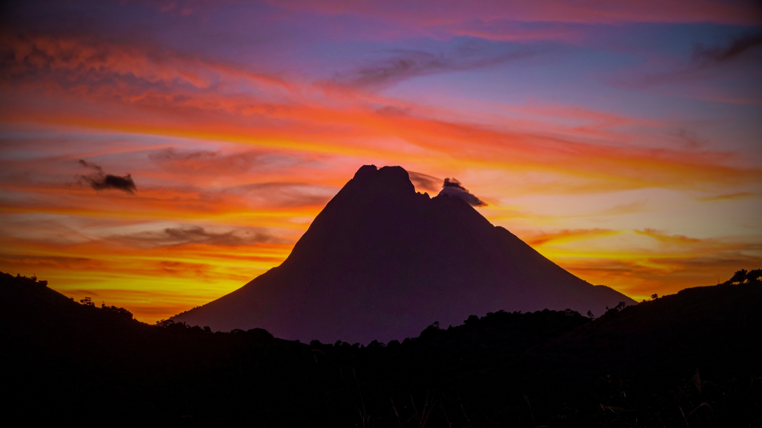
Merapi quick facts
- Volcano type
- Stratovolcano with lava domes
- Location
- Central Java / Yogyakarta
- Typical magma
- Andesitic
- Signature hazard
- Dome-collapse pyroclastic flows
- Official agency
- PVMBG-BPPTKG
Activity and behaviour
Effusive eruption, unstable domes and sector-based risk
Evergreen profile
How Merapi behaves
Merapi commonly builds lava domes near the summit. Dome collapse, rockfalls and pressurised explosions can generate fast-moving pyroclastic density currents along established valleys.
Check the latest verified status →Characteristic activityLava-dome growthInstability can develop gradually or suddenly
Main escalationDome collapsePyroclastic currents follow steep valleys
Hazard patternSector-basedRisk depends on dome position and drainage
Rainfall hazardLaharsLoose deposits can be remobilised downstream
Official sourcePVMBG / MAGMAAuthoritative alert and hazard information
Indonesia's alert system
What official monitoring means
official monitoring indicates high volcanic activity. It is an operational warning with specific hazard sectors and distance recommendations, not a prediction that a single large eruption is imminent.
Heightened unrest and tighter crater restrictions.
High activity with expanded, sector-based danger zones.
Hazardous eruption underway or expected imminently.
Merapi's defining feature
Living with a lava dome
The dome grows slowly, but its failure can be sudden.
Viscous magma reaches the summit and piles up rather than flowing freely away. Fresh lava may fracture, glow and shed blocks down the upper slopes. When part of the dome or its supporting structure collapses, hot gas and fragmented lava can transform into a pyroclastic density current.
ExtrusionNew lava pushes into the summit dome.
RockfallUnstable blocks break away under gravity.
CollapseA larger section fails rapidly.
Pyroclastic flowHot material accelerates through valleys.

How Merapi erupts
From rising magma to a valley-filling ash cloud

Monitoring
Watching the dome, the valleys and the rain
BPPTKG and PVMBG combine summit observations with dense instrumental networks because Merapi's hazard can shift from slow dome growth to rapid collapse.
SeismicityTracks magma ascent, rockfall and pyroclastic-flow signals.
EDM, GNSS and tiltMeasure deformation and changing pressure.
Cameras and dronesMap dome shape, collapse scars and active avalanches.
Gas monitoringHelps assess magma supply and degassing.
Thermal observationsIdentify hot dome material and active flow paths.
Rain and lahar sensorsWatch channels long after ash has fallen.
A volcano through time
Mount Merapi eruption timeline
1930
Deadly pyroclastic flows
A major eruption sent pyroclastic flows into inhabited areas and remains one of Merapi's defining historic disasters.
1994
Dome collapse on the south flank
Pyroclastic flows struck communities south of the volcano, reinforcing the danger of directional dome collapse.
2006
Dome growth and evacuations
Strong dome activity developed during a period already complicated by the Yogyakarta earthquake.
Defining modern eruption2010
Merapi's largest eruption in generations
Rapid escalation produced major explosions, widespread ash and pyroclastic flows extending far beyond the usual sectors. Hundreds of people died and large-scale evacuations were required.
2018–20
Renewed dome-building cycle
Explosions, extrusion and changing summit morphology prepared the volcano for a new long-lived effusive phase.
Current phase2020–2026
Persistent effusive eruption
Multiple summit domes, lava avalanches and intermittent pyroclastic flows continue under official alert information monitoring.
What matters most
Merapi's main hazards
≋
Pyroclastic density currents
Fast, hot mixtures of gas, ash and blocks channelled into valleys; Merapi's most dangerous hazard.
◆
Dome collapse and rockfall
Unstable lava can shed blocks continuously or fail in a much larger collapse.
☁
Ashfall
Explosions and collapses affect health, crops, transport, aviation and daily life.
≈
Lahars
Heavy rain remobilises ash and debris into dangerous channelised flows.
Volcoholics Insight
At Merapi, the greatest danger usually comes from gravity acting on an unstable lava dome — not from rivers of lava.
Myths and reality
Merapi myths, separated from the science
The lava itself is the greatest danger.
Reality: dome-collapse pyroclastic density currents are usually the faster and more lethal hazard.
Merapi always gives plenty of warning.
Reality: monitoring detects unrest, but dome collapse and flow direction can still change rapidly.
A quiet-looking summit means the volcano is safe.
Reality: cloud, darkness or slow extrusion can hide important changes in the dome.
official monitoring means one huge eruption is imminent.
Reality: official monitoring describes high ongoing activity and operational restrictions, not a countdown.
Volcoholics Insight
A volcano shaped by gravity as much as pressure
Merapi's danger is not defined only by explosive blasts. It is created by the interaction of viscous magma, unstable domes, steep valleys, heavy rain and densely populated land. Understanding the dome is the key to understanding the volcano.
Questions answered
Mount Merapi explained
What is Merapi's official monitoring level?
Merapi is at official monitoring, official monitoring, in the official sources used for this build. Always check PVMBG-BPPTKG for the latest operational advice.
Why does Merapi form lava domes?
Its magma is viscous enough to accumulate close to the vent rather than flowing freely away.
What is a pyroclastic density current?
A fast, ground-hugging mixture of hot gas, ash and volcanic fragments generated by explosion or dome collapse.
Is Yogyakarta threatened by every eruption?
No. Risk depends on eruption scale, wind, dome orientation and valley pathways, but ash and wider disruption can affect the region.
Why are danger zones sector-based?
Merapi's valleys channel avalanches and pyroclastic flows in particular directions, so the hazard is not equal around the whole cone.
Official science, made readable
Built from the agencies watching Merapi
Operational status and exclusion guidance belong to PVMBG and BPPTKG. Volcoholics provides context and never replaces official warnings.